
Northeast Monsoon 2026/2027: MET rainfall outlook and flood preparation checklist
MET has not yet announced the start date of the 2026/2027 Northeast Monsoon. The highest monthly rainfall, up to 950 mm, is expected in Terengganu and coastal Kelantan.
- The start date of the 2026/2027 Northeast Monsoon has not yet been announced by MET Malaysia. This monsoon usually runs from November to March.
- MET outlook (updated 5 Oct 2026): the highest monthly rainfall, up to 950 mm, is expected in Terengganu and coastal Kelantan in Nov–Dec.
- Major floods often hit Kelantan, Terengganu, Pahang, East Johor, Sarawak and Sabah during this monsoon (MET).
- El Niño is expected to continue until May 2027; dry conditions are expected to increase from Jan to Mar 2027.
- Check warnings at met.gov.my or in the myCuaca app, and river levels on Public InfoBanjir (JPS).
Source: MET Malaysia; JPS; MERS 999
Northeast Monsoon 2026/2027: MET rainfall outlook and flood preparation checklist
The start date of the 2026/2027 Northeast Monsoon has not yet been announced by MET Malaysia. This monsoon usually runs from November to March.
Read: https://jelaskini.online/en/northeast-monsoon-2026-2027-met-outlook-flood-preparation
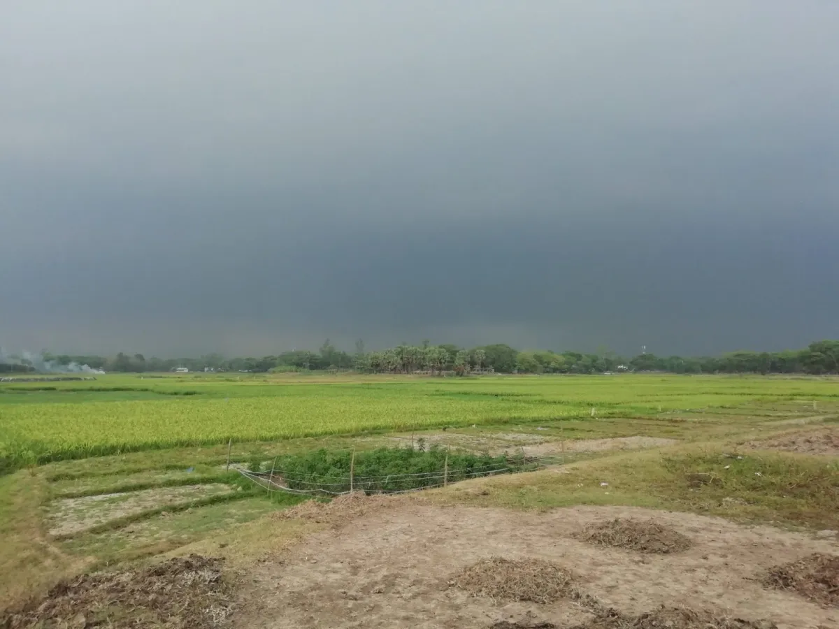
The Malaysian Meteorological Department (MET Malaysia) describes the Northeast Monsoon as the country's main rainy season. According to MET's Weather Phenomena page, this monsoon usually runs from November to March.
Monsoon start date not yet announced
MET's Long-Range Weather Outlook for October 2026 to March 2027 was updated on 5 Oct 2026. It states that Malaysia is expected to move into the Inter-monsoon phase in early October 2026. However, the outlook does not give a start date for the Northeast Monsoon. The news list on the MET website, which we checked on 20 Oct 2026, also does not yet contain a statement on the start date.
During the inter-monsoon phase, winds are weak and thunderstorms form easily. MET's Weather Phenomena page states that thunderstorms are more frequent between monsoons, that is, April to May and October to November. According to the MET outlook, heavy rain and strong winds from thunderstorms occur mainly in the afternoon and early evening. Thunderstorms can also cause flash floods, fallen trees and damage to weak structures.
Rainfall outlook for Nov–Dec: highest in Terengganu and coastal Kelantan
Appendix 2 of the MET outlook gives estimated monthly rainfall by district. Figures for November and December 2026 in the east coast states and Sarawak:
| Area | Nov 2026 (mm) | Dec 2026 (mm) |
|---|---|---|
| Kelantan: Tumpat, Kota Bharu, Bachok, Pasir Mas, Pasir Puteh, Tanah Merah, Machang | 550–820 | 550–820 |
| Terengganu: Besut, Setiu | 630–950 | 590–890 |
| Terengganu: Kuala Nerus, Kuala Terengganu | 590–890 | 590–890 |
| Terengganu: Hulu Terengganu | 570–850 | 610–920 |
| Terengganu: Dungun, Kemaman | 490–730 | 490–730 |
| Pahang: Kuantan, Pekan | 290–430 | 290–430 |
| Johor: Mersing | 270–400 | 270–400 |
| Sarawak: Kuching, Samarahan | 280–420 | 280–420 |
All these areas are classed as "Average", meaning within 20% of the long-term average. This means rainfall is expected to be close to normal, but normal in these areas is already hundreds of millimetres a month. MET states that heavy rain during this monsoon often causes major floods in Kelantan, Terengganu, Pahang and East Johor, as well as in Sarawak and Sabah.
El Niño: Jan to Mar 2027 expected to be drier
MET states that El Niño is currently at a moderate level and is forecast to continue until May 2027. Throughout the outlook period, slightly below-average rainfall is expected in several states in the north, south and interior of the Peninsula, as well as eastern Sarawak and eastern Sabah.
Dry conditions are expected to increase again from January to March 2027, especially in the northern Peninsula and Sabah. MET mentions the risk of heatwaves, local haze and water shortages if rainfall stays low. Western Sarawak, meanwhile, is expected to receive slightly above-average rainfall in January 2027.
MET rain warning levels and river water levels
MET issues continuous rain warnings at three levels:
- Alert: continuous rain of less than 150 mm in 24 hours; possible flooding in low-lying areas.
- Severe: continuous heavy rain of more than 150 mm in 24 hours; possible flooding in low-lying areas and near riverbanks.
- Danger: continuous very heavy rain of more than 250 mm in 24 hours; larger floods and landslides on hill slopes.
The 24-hour period is counted from when the rain starts. Warnings are issued through the met.gov.my website, social media and the myCuaca app. Version 3.0 of the app was launched on 13 Oct 2026 and sends warning notifications based on your current location. For river levels near your home, check Public InfoBanjir, run by the Department of Irrigation and Drainage (JPS). Each water level station there is marked Normal, Alert, Warning or Danger.
Flood preparation checklist
This list is compiled from official guidance by MET Malaysia and Malaysian Emergency Response Services (MERS 999).
Before heavy rain
- Know your community emergency plan, warning signals, escape routes and the location of evacuation centres in your area.
- Clear blocked drains, ditches and rain gutters.
- Store water and non-perishable food, and prepare an emergency supply kit.
- Do not keep valuables on the ground floor of your house.
- Fill up your car's fuel tank and make sure the car emergency kit is in good condition.
When floods happen
- If the authorities tell you to evacuate, switch off the main utility switches and unplug electrical appliances, then leave immediately. Take only a few belongings.
- Do not drive through floodwater or over weak bridges, as cars are easily swept away by strong currents.
- Stay away from fast-flowing drains, rivers and flooded areas. Avoid going out to sea in ships or small boats.
- Check which temporary relief centres (PPS) are open on InfoBencana by the Department of Social Welfare (JKM). In an emergency, call 999.
The National Disaster Management Agency (NADMA) publishes daily disaster reports, and its portal links to JPS flood information and JKM relief centres.
What it means for you
If you live on the east coast of the Peninsula, in Sarawak or in Sabah, prepare now without waiting for the monsoon start date. The inter-monsoon phase itself can bring thunderstorms and flash floods.
If you plan to travel back to your hometown on the east coast during the year-end school holidays, check MET warnings and river levels before you set off. Rely only on official agencies for warnings and evacuation orders, and do not depend on viral messages that do not name a source.
For January to March 2027, MET expects the risk of local haze and water shortages to rise if rainfall stays low. Monitor current warnings and the Air Pollutant Index (API) reading guide on the Weather, haze & alerts hub.
Frequently asked questions
When does the 2026/2027 Northeast Monsoon start?
Which states are most often hit by floods during this monsoon?
What is the difference between Alert, Severe and Danger warnings?
Where can I check river water levels?
How do I know which temporary relief centres are open?
Was this helpful?
Thank you. Your feedback helps us improve this page.
Sources & how we checked
- Long-Range Weather Outlook for October 2026 to March 2027 (Updated: 5 October 2026) (in Malay) — Malaysian Meteorological Department (MET Malaysia) · accessed 19 Oct 2026
- Weather Phenomena (in Malay) — Malaysian Meteorological Department (MET Malaysia) · accessed 19 Oct 2026
- Continuous Rain Warning Criteria (in Malay) — Malaysian Meteorological Department (MET Malaysia) · accessed 19 Oct 2026
- Public InfoBanjir Official Website (in Malay) — Department of Irrigation and Drainage Malaysia (JPS) · accessed 19 Oct 2026
- Emergency Preparedness: Floods (in Malay) — MERS 999 (Government of Malaysia and Telekom Malaysia) · accessed 19 Oct 2026
Rainfall figures were matched against MET's Long-Range Weather Outlook (updated 5 Oct 2026), accessed on 20 Oct 2026.
The first draft of this article was AI-assisted from the sources above. Every figure was checked by Editor JelasKini.
Update & correction log
- Published.
Follow updates
One short message when aid dates or fuel prices change.